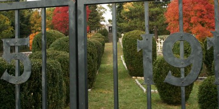
Austro-Hungarian military cemetery WW1, Gorjansko
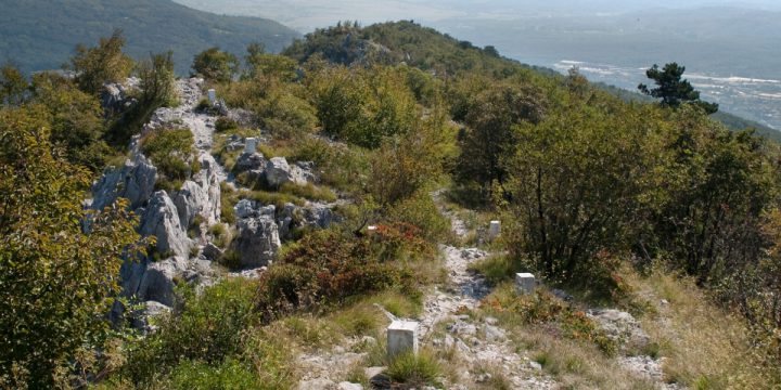
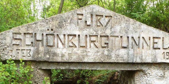
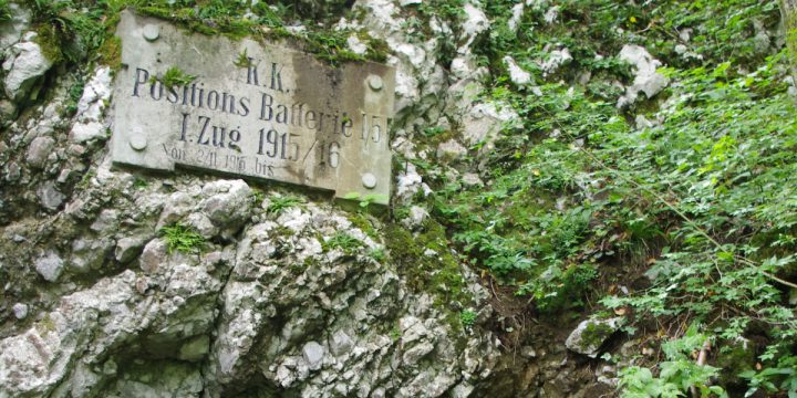
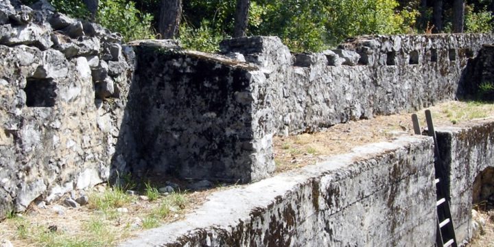
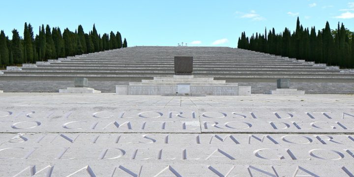
Gorjansko WW1 Cemetery The Austro-Hungarian cemetery from World War I is situated next to the village cemetery in Gorjansko by the regional road which leads to Klanec and Brestovica. At the military cemetery are buried soldiers of Austro-Hungarian army of various nationalities, who fell in the years 1915-1917 on the Isonzo front. This is the largest cemetery of the Austro-Hungarian army for soldiers lost in the Isonzo Front. As far as 10,000 soldiers of different nationalities are buried here. The cemetery has kept its original design, which blends in with the Karst landscape. March 2022 [gallery type="rectangular" size="full" ids="2696,2697,2698,2699,2700,2701,2703,2702,2704,2705,2706,2707,2708,2711,2709,2712,2710,2713,2714,2715"] February 2018 [gallery link="file" size="full" type="rectangular" ids="2481,2479,2478,2480"] February 2013 [gallery type="rectangular" link="file" size="full" ids="2471,2472,2473,2465,2466,2464,2467,2468,2469,2470,2474,2475,2476,2477"]